South Asia Geospatial Forum 2015
Introduction
South Asia region faces several common challenges and opportunities, thus offering greater options for collaboration and partnerships in exploiting technology and practices while addressing the challenges and carrying forward their quest for development. Geospatial technology is emerging as a foundation for all kinds of information systems. Realising the need for greater cooperation and collaboration in the field in South Asia region, Geospatial Media along with the valuable support of International Centre for Integrated Mountain Development (ICIMOD) is taking initiative to bring together SAARC geospatial communities at one platform.
Objectives:
- Offer opportunities for collaboration and strengthening partnerships amongst South Asian countries in the application of Geospatial technologies
- Offer largest geospatial platform for SAARC nations to discuss and exchange their ideas on their respective geospatial industry as well as present their success stories
- Bring together key stakeholders comprising of NMOs, policy makers, large users and academicians from geospatial industry from the region and apprise them with latest developments in geospatial applications and technology .
Who should Attend
- Heads of NMOs
- Meteorologists
- Policy Makers
- Academicians
- Researchers
- Major Users
- Technology Providers
Agenda
Sessions:
- Geospatial Technologies, Directions and Standards
- Emerging Geospatial Applications
Panel:
Exploring Avenues for Collaboration
 Welcome Address
 Dr. M P Narayan
Chairman, Geospatial Media and Communications
 Keynote Address
 S Subba Rao, Surveyor General of India
 Guest Address
 Dasho Pema Chewang
Secretary National Land
Commission Royal Government of Bhutan
Bio | Abstract
 Vote of Thanks
 Akanksha Tyagi
Product Manager-Conferences, Geospatial Media and Communication, India
Session-Geospatial Technologies, Directions and Standards
 Chairperson & Lead Speaker
 Mark E. Reichardt
President & CEO
Open Geospatial Consortium (OGC)
Abstract
 Sanjeev Trehan
Regional Manager, SAARC, Geospatial Division, Trimble Navigation India Pvt
Bio | Abstract
 Srinibas
Patnaik
Senior Director SAARC DigitalGlobe
 Kaushik Chakraborty
VP, Hexagon India
Session- Emerging Geospatial Applications
 Chairperson & Lead Speaker
 Maj Gen (Retd) Dr R Siva Kumar
Pro Vice Chancellor (R&D), GITAM University,India
 Dr Zaffar Mohamed-Ghouse
Principal Consultant-Spatial & IT
 Anne Kemp
Director at Atkins - BIM Strategy and Development
 Dr. P.G. Diwakar
Deputy Director (RSA) National Remote Sensing Centre, India
 Engr. Motaleb Hossain Sarker
Director Ecology Division, Center for Environmental and Geographic Information Services (CEGIS), Bangladesh
 Dr. T. Srinivasa Kumar
Head ASG & In-charge, Indian Tsunami Early Warning Centre, Indian National Centre for Ocean Information Services (INCOIS), India
Bio
 Yeshi Dorji
Chief Land Registrar Urban Land Division National Land Commission Royal Government of Bhutan
Panel- Exploring Avenues for Collaboration
 Moderator
 Basanta Shrestha
Director - Strategic Cooperation ICIMOD, Nepal
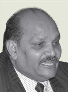 Bhoop Singh
Head-NSDI, India
 S Subba Rao, Surveyor General of India
 Manoj Aggarwal*
Settlement Commissioner & Director of Land Records, Gujarat
 Guest Address
 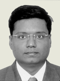 M.Rajathurai
 Eng.(Mrs.)
Thamara Mallawaarachchi
 Brigadier
General
Md Abul Khair
 Madhu Sudan
Adhikari


