Speaker

Bio
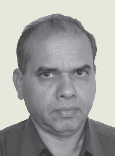
Dr. Ramesh S. Hooda is currently working as the Chief Scientist of Haryana Space Applications Centre (HARSAC), Hisar. Dr. Hooda has more than 27 years of experience in the field of Remote Sensing and Geographical Information Systems (GIS). He obtained his M.Sc. and Ph.D. degree from Haryana Agricultural University, Hisar in the year 1983 and 1987, respectively. He has been instrumental in developing a number of new applications of space technology for the developmental planning of the state of Haryana. He is a member of a number of state level committees of various Government Departments involved in natural resources management.
Dr. Hooda had been at the University of Tokyo, Japan from 1994-96 on a Post-doctoral Fellowship. He has published about 140 research papers, 20 booklets and atlases and more than 110 technical reports. He has also visited various countries like Thailand, Austria, France, Itali, Netherlands, Greece, Nepal, China and Russia for presentation of research papers in international conferences.
Abstract
Applications of Geo-informatics in Agricult ural
Resources Management in Haryana
The agriculturally dominant state of Haryana is fast moving from e-governance to g-governance
using the geo-spatial technologies specially with reference to agricultural resources management.
Besides the operational use of remote sensing and GIS in crop acreage and production forecasting
for a long time, the technology is also been used in the assessment of cropping patterns, crop
rotations, monitoring minor crops like summer paddy, horticultural crops, assessment of burning
of crop residues, surplus crop biomass assessment for power generation etc. Crop damage due
to flooding is being assessed using pre-monsoon and post-monsoon satellite data. Agricultural
drought vulnerability assessment has been attempted for the state. Mapping of macro and micro
nutrient availability in the soil etc of all Haryana districts have been done for proper farm advisory
services. Mapping of ground water prospects, ground water quality and depth to water table has
been completed for entire Haryana. The present paper describes in brief some important applications
of remote sensing and GIS technologies in agriculture in Haryana.